
Samaná is one of the 32 provinces of the Dominican Republic, located in the northeast of the country and fully occupying the Samaná Peninsula. Its capital city is Santa Bárbara de Samaná, commonly referred to simply as Samaná.
Established as a Maritime District on June 4, 1867, it became a province following the constitution of 1907, which eliminated the maritime district category.
History
Origins and Early History
The name Samaná originates from the Taíno word Xamaná. Christopher Columbus visited the region in January 1493 during his first voyage to the Americas. At that time, it was inhabited by the Ciguayo people, leading to the first hostile encounter between Europeans and indigenous natives.
During the 16th, 17th, and early 18th centuries, the area was largely uninhabited, save for some “cimarrones” (escaped slaves) and European settlers attempting colonization. The region was frequently visited by the English and French, who used the beaches to “careen” (clean and repair) their ships. This practice gave rise to local place names like “Carenero.”
Colonization and Development
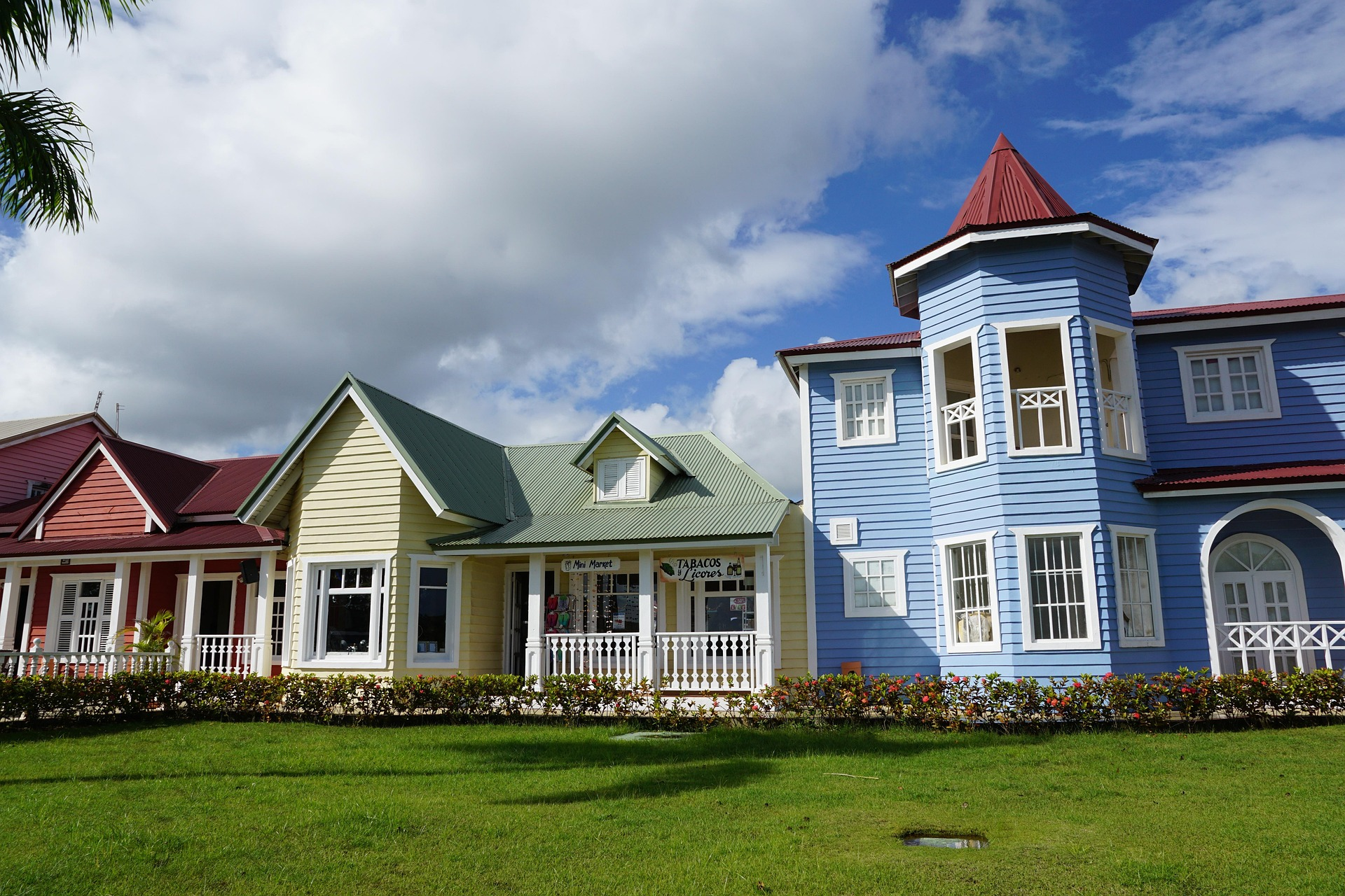
In 1756, the city of Santa Bárbara de Samaná was founded by families from the Canary Islands. Later, under French rule via the Treaty of Basel, Governor Ferrand developed the region by settling French families fleeing the Haitian Revolution. These settlers focused on timber and coffee, leaving a lasting legacy on local surnames (e.g., Tesón, Anadel) and place names (e.g., Las Terrenas, from the French “la terrienne”).
19th Century Migrations
During the Haitian occupation (1822-1844), President Jean Pierre Boyer built forts for defense and settled Haitian families in the area. Notably, he also sent approximately 200 freed African American slaves to the region. While many returned to the US, those who stayed preserved their language and traditions.
Geography and Climate
Boundaries and Terrain
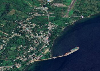
The Atlantic Ocean borders the peninsula to the north and east, while the Samaná Bay lies to the south. It shares land borders with Monte Plata, Duarte, and María Trinidad Sánchez provinces.
The Sierra de Samaná mountain range dominates the landscape, reaching the coast in many areas, though interrupted by scenic beaches. The highest peak is La Meseta at 650 meters. To the west of Sánchez, the terrain flattens into the Gran Estero.
Climate
The province enjoys a tropical humid forest climate with an average annual temperature of 25.9°C (78.6°F). Rainfall in the Sierra de Samaná exceeds 2,000 millimeters annually. While there are numerous rivers and streams, most are short; however, the Yuna River empties into the western end of Samaná Bay.
Administration and Demographics
Municipalities
The province is divided into three main municipalities and several municipal districts:
-
- Santa Bárbara de Samaná (Head municipality)
-
- Las Terrenas
-
- Sánchez
Municipal districts include Arroyo Barril, El Limón, Las Galeras, Los Corrales, Punta Gorda, Santa Capuza, Los Robalos, and Honduras.
Population
According to the 2010 National Census, the population was 101,494 (52,406 men and 49,088 women). The demographic breakdown is approximately 65% mulatto, 25% black, and 10% white.
Economy
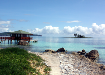
While Samaná is the country’s leading coconut producer, demand has declined. Fishing has also reduced over time due to increased sedimentation in the bay from the Yuna River. There is minor mining activity for marble. However, tourism has emerged as the province’s primary economic driver, capitalizing on its natural beauty.
Credit: Ayuntamiento de Samaná


